
Fil:RPmap+Boracay.gif
Det finns ingen version med högre upplösning.
RPmap+Boracay.gif (266 × 576 pixlar, filstorlek: 19 kbyte, MIME-typ: image/gif)
| Denna fil tillhandahålls av Wikimedia Commons. Informationen nedan är kopierad från dess filbeskrivningssida. |
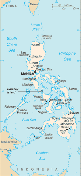
Sammanfattning
Philippine map with location of Boracay Island indicated
Philippine map sourced from CIA World Factbook (Public Domain)
Boracay Island indication added by myself
Licensiering
This image is in the public domain because it contains materials that originally came from the United States Central Intelligence Agency's World Factbook.
|
 |
Categories
Filhistorik
Klicka på ett datum/klockslag för att se filen som den såg ut då.
| Datum/Tid | Miniatyrbild | Dimensioner | Användare | Kommentar | |
|---|---|---|---|---|---|
| nuvarande | 15 juli 2006 kl. 04.03 | | 266 × 576 (19 kbyte) | Wtmitchell | Philippine map with location of Boracay Island indicated Philippine map sourced from CIA World Factbook (Public Domain) Boracay Island indication added by myself |
Filanvändning
Följande sida använder den här filen:
Global filanvändning
Följande andra wikier använder denna fil:
- Användande på no.wikipedia.org
- Användande på pam.wikipedia.org
- Användande på pl.wikipedia.org