
Fil:Warwickshire UK location map.svg

Storleken för denna PNG-förhandsvisning av denna SVG-fil: 493 × 599 pixlar. Andra upplösningar: 197 × 240 pixlar | 395 × 480 pixlar | 632 × 768 pixlar | 843 × 1 024 pixlar | 1 686 × 2 048 pixlar | 1 042 × 1 266 pixlar.
Originalfil (SVG-fil, standardstorlek: 1 042 × 1 266 pixlar, filstorlek: 2,18 Mbyte)
| Denna fil tillhandahålls av Wikimedia Commons. Informationen nedan är kopierad från dess filbeskrivningssida. |
| Beskrivning |
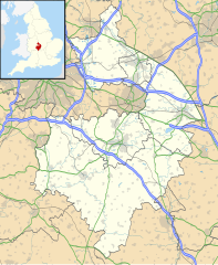
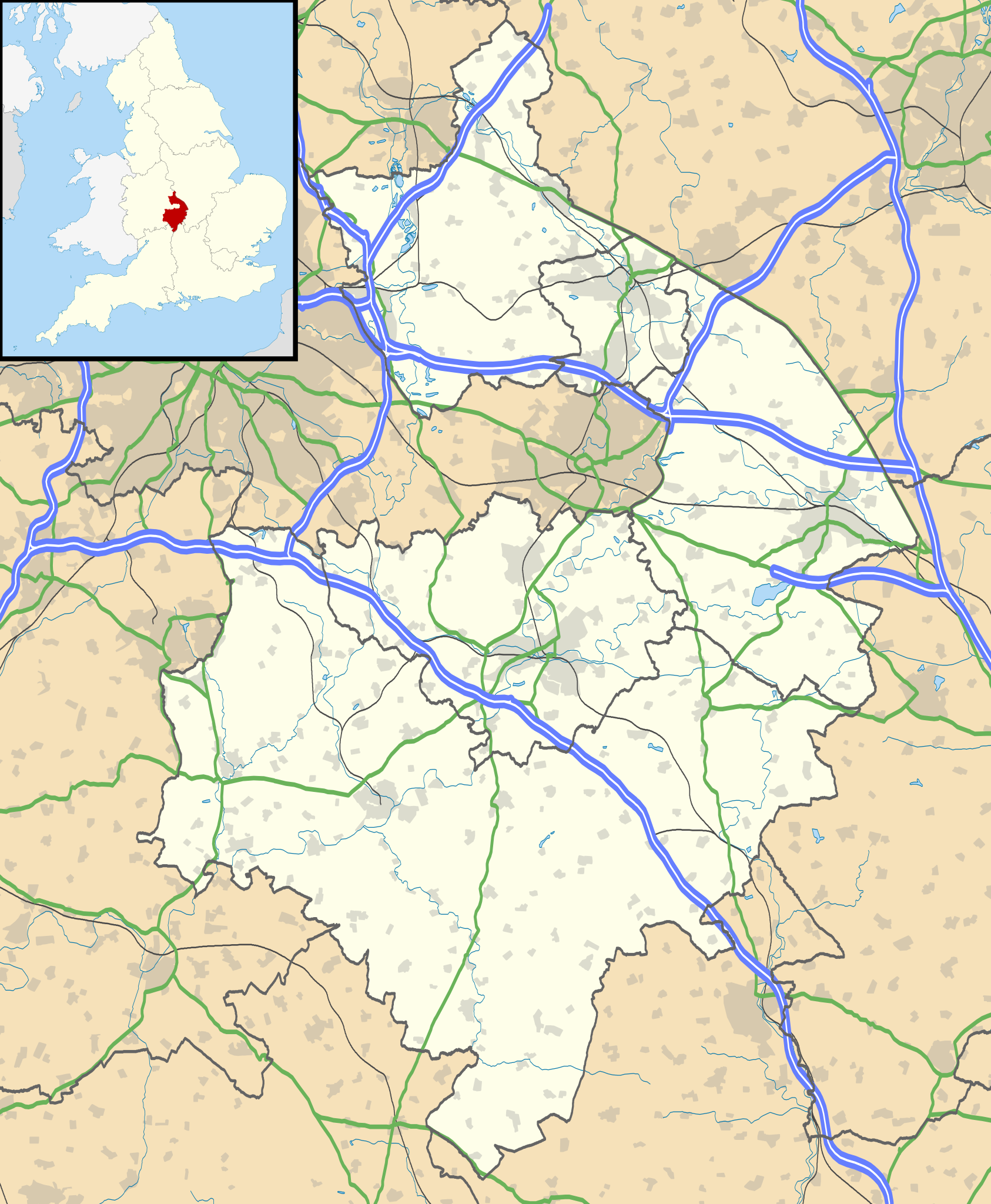
Map of Warwickshire, UK with the following information shown:
Equirectangular map projection on WGS 84 datum, with N/S stretched 160% Geographic limits:
|
| Datum | |
| Källa |
|
| Skapare | Nilfanion, created using Ordnance Survey data |
| Tillstånd (Återanvändning av denna fil) |
Denna fil har gjorts tillgänglig under licensen Creative Commons Erkännande-Dela Lika 3.0 Generisk Erkännande: Contains Ordnance Survey data © Crown copyright and database right
|
| Andra versioner | File:Warwickshire UK district map (blank).svg - Blank map |
.svg)
Filhistorik
Klicka på ett datum/klockslag för att se filen som den såg ut då.
| Datum/Tid | Miniatyrbild | Dimensioner | Användare | Kommentar | |
|---|---|---|---|---|---|
| nuvarande | 26 september 2010 kl. 21.17 | | 1 042 × 1 266 (2,18 Mbyte) | Nilfanion | {{Information |Description=Map of Warwickshire, UK with the following information shown: *Administrative borders *Coastline, lakes and rivers *Roads and railways *Urban areas Equirectangular map projection on WGS 84 datum, with N/S str |
Filanvändning
Följande 8 sidor använder den här filen:
Global filanvändning
Följande andra wikier använder denna fil:
- Användande på ar.wikipedia.org
- Användande på bg.wikipedia.org
- Användande på ceb.wikipedia.org
- Användande på en.wikipedia.org
- Kenilworth Castle
- Stratford-upon-Avon
- Kenilworth
- Rugby, Warwickshire
- Battle of Edgehill
- Napton on the Hill
- Warwick Castle
- Leamington Spa
- Nuneaton
- Southam
- Warwick
- Bedworth
- Atherstone
- Mancetter
- Ryton-on-Dunsmore
- Alcester
- Shipston-on-Stour
- Dunchurch
- Warwickshire
- Wellesbourne Watermill
- Whitnash
- Bulkington
- Kineton
- Studley, Warwickshire
- Brinklow
- Monks Kirby
- Gaydon
- Leek Wootton
- Bodymoor Heath
- Compton Wynyates
- Long Compton
- Ansty, Warwickshire
- Coleshill, Warwickshire
- Broadwell, Warwickshire
- Bidford-on-Avon
- Rugby Radio Station
- Newbold-on-Avon
- Kingsbury, Warwickshire
- Binley Woods
- Long Lawford
- Willoughby, Warwickshire
- Wibtoft
- Wolston
- Newton, Warwickshire
- Burton Green
Visa mer globalt användande av denna fil.