
Fil:Debris-GEO1280 p.jpg
Originalfil (1 280 × 1 280 pixlar, filstorlek: 146 kbyte, MIME-typ: image/jpeg)
| Denna fil tillhandahålls av Wikimedia Commons. Informationen nedan är kopierad från dess filbeskrivningssida. |
Sammanfattning
| Beskrivning |
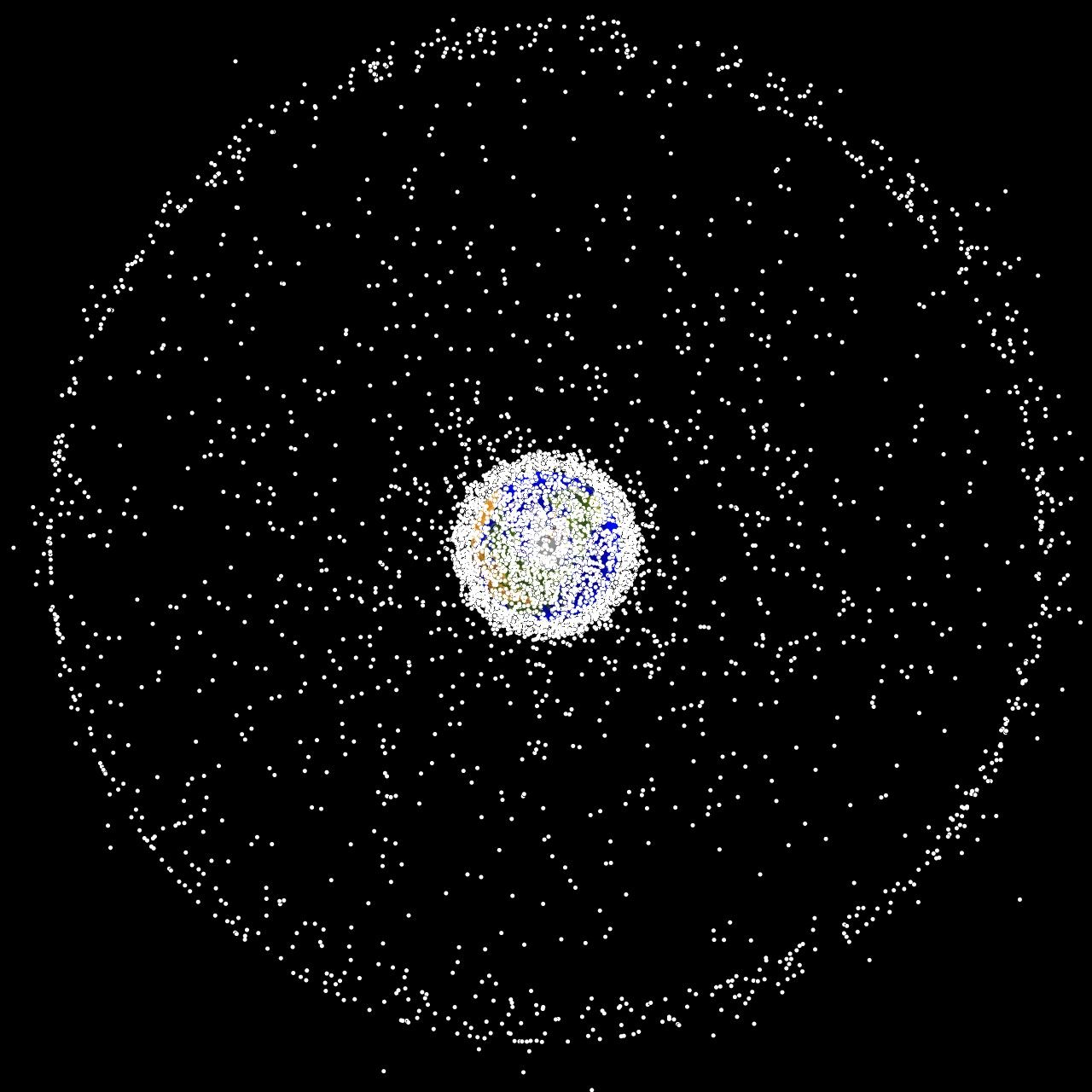
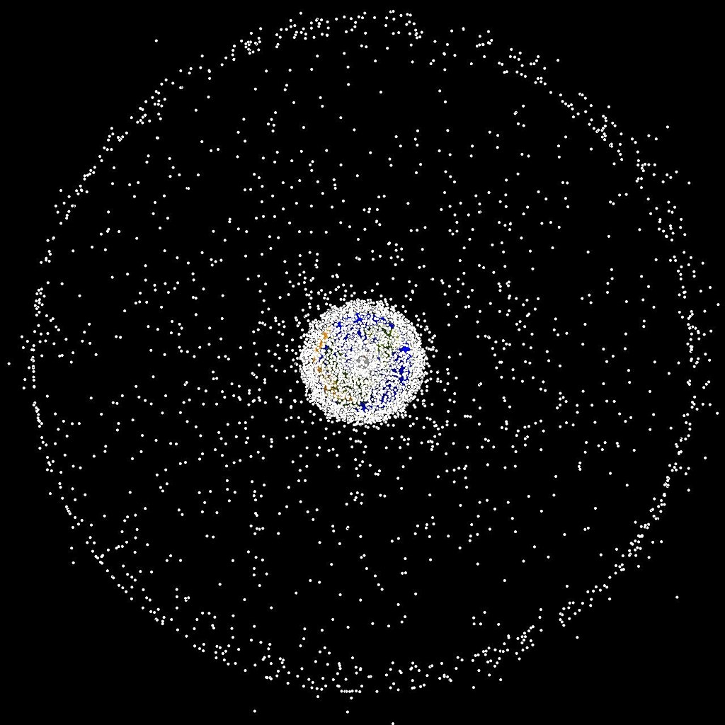
English: Debris plot by NASA The following graphics are computer generated images of objects in Earth orbit that are currently being tracked. Approximately 95% of the objects in this illustration are orbital debris, i.e., not functional satellites. The dots represent the current location of each item. The orbital debris dots are scaled according to the image size of the graphic to optimize their visibility and are not scaled to Earth. These images provide a good visualization of where the greatest orbital debris populations exist. Below are the graphics generated from different observation points. |
| Källa | http://orbitaldebris.jsc.nasa.gov/photogallery/beehives.html |
| Skapare | NASA |
Licensiering
| Denna fil är allmän egendom eftersom den skapades av NASA. NASA:s upphovsrättspolicy hävdar att "material från NASA inte är upphovsrättsskyddad om inte annat anges". (Se Template:PD-USGov, NASA:s upphovsrättspolicy eller JPL-bildanvändningspolicy.) | ||
 |
Varningar:
|
Filhistorik
Klicka på ett datum/klockslag för att se filen som den såg ut då.
| Datum/Tid | Miniatyrbild | Dimensioner | Användare | Kommentar | |
|---|---|---|---|---|---|
| nuvarande | 1 februari 2005 kl. 18.47 | | 1 280 × 1 280 (146 kbyte) | Srbauer | debris plot by NASA |
Filanvändning
Följande sida använder den här filen:
Global filanvändning
Följande andra wikier använder denna fil:
- Användande på af.wikipedia.org
- Användande på af.wiktionary.org
- Användande på ar.wikipedia.org
- Användande på de.wikipedia.org
- Användande på hu.wikipedia.org
- Användande på it.wikipedia.org
- Användande på lb.wikipedia.org
- Användande på pt.wikipedia.org
- Användande på ru.wikipedia.org
- Användande på simple.wikipedia.org
- Användande på sw.wikipedia.org