
Fil:Greater Manchester UK relief location map.jpg

Storlek på förhandsvisningen: 800 × 557 pixlar. Andra upplösningar: 320 × 223 pixlar | 640 × 446 pixlar | 1 024 × 714 pixlar | 1 280 × 892 pixlar | 1 999 × 1 393 pixlar.
Originalfil (1 999 × 1 393 pixlar, filstorlek: 332 kbyte, MIME-typ: image/jpeg)
| Denna fil tillhandahålls av Wikimedia Commons. Informationen nedan är kopierad från dess filbeskrivningssida. |
| Beskrivning |
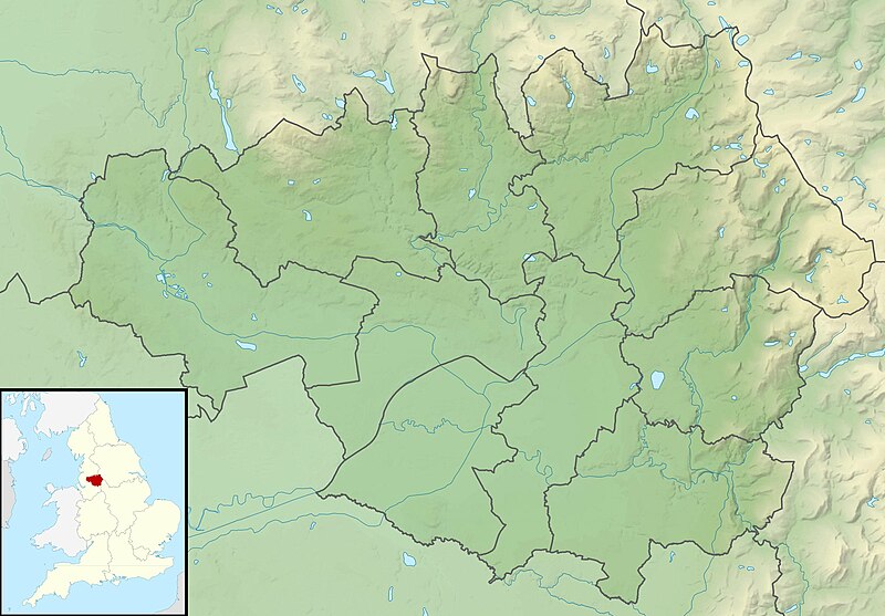
Relief map of Greater Manchester, UK. Equirectangular map projection on WGS 84 datum, with N/S stretched 165% Geographic limits:
|
| Datum | |
| Källa |
|
| Skapare | Nilfanion, created using Ordnance Survey data |
| Tillstånd (Återanvändning av denna fil) |
Denna fil har gjorts tillgänglig under licensen Creative Commons Erkännande-Dela Lika 3.0 Generisk Erkännande: Contains Ordnance Survey data © Crown copyright and database right
|
| Andra versioner | File:Greater Manchester UK district map (blank).svg - Blank map |
.svg)
Filhistorik
Klicka på ett datum/klockslag för att se filen som den såg ut då.
| Datum/Tid | Miniatyrbild | Dimensioner | Användare | Kommentar | |
|---|---|---|---|---|---|
| nuvarande | 29 november 2011 kl. 03.37 | | 1 999 × 1 393 (332 kbyte) | Nilfanion | {{Information |Description=Relief map of Greater Manchester, UK. Equirectangular map projection on WGS 84 datum, with N/S stretched 165% Geographic limits: *West: 2.80W *East: 1.90W *North: 53.70N *South: 53.32N |Source=[[w:Ordn |
Filanvändning
Följande sida använder den här filen:
Global filanvändning
Följande andra wikier använder denna fil:
- Användande på ar.wikipedia.org
- Användande på bg.wikipedia.org
- Användande på bn.wikipedia.org
- Användande på ceb.wikipedia.org
- Användande på el.wikipedia.org
- Användande på en.wikipedia.org
- Chetham's Library
- River Irk
- Werneth Low
- Dovestone Reservoir
- Strinesdale Reservoir
- Winter Hill transmitting station
- Battle of Wigan Lane
- Hollingworth Lake
- Winter Hill (North West England)
- Saddleworth Moor
- Blackstone Edge
- Chew Valley, Greater Manchester
- Chew Reservoir
- Hollingworth Reservoir
- Black Chew Head
- Hartshead Pike
- Crompton Moor
- Ogden Reservoir (Greater Manchester)
- Geography of Greater Manchester
- Oceânico Group Pro-Am Challenge
- Kersal Moor
- Manchester Bolton & Bury Reservoir
- Kitcliffe Reservoir
- Piethorne Reservoir
- Rooden Reservoir
- Norman Hill Reservoir
- Hanging Lees Reservoir
- Watergrove Reservoir
- Blackstone Edge Reservoir
- Brown Wardle Hill
- Yeoman Hey Reservoir
- Ashworth Moor Reservoir
- Brushes Clough Reservoir
Visa mer globalt användande av denna fil.