
Fil:NepalTaplejungDistrictmap.png
Originalfil (2 479 × 3 508 pixlar, filstorlek: 232 kbyte, MIME-typ: image/png)
| Denna fil tillhandahålls av Wikimedia Commons. Informationen nedan är kopierad från dess filbeskrivningssida. |
| Beskrivning |
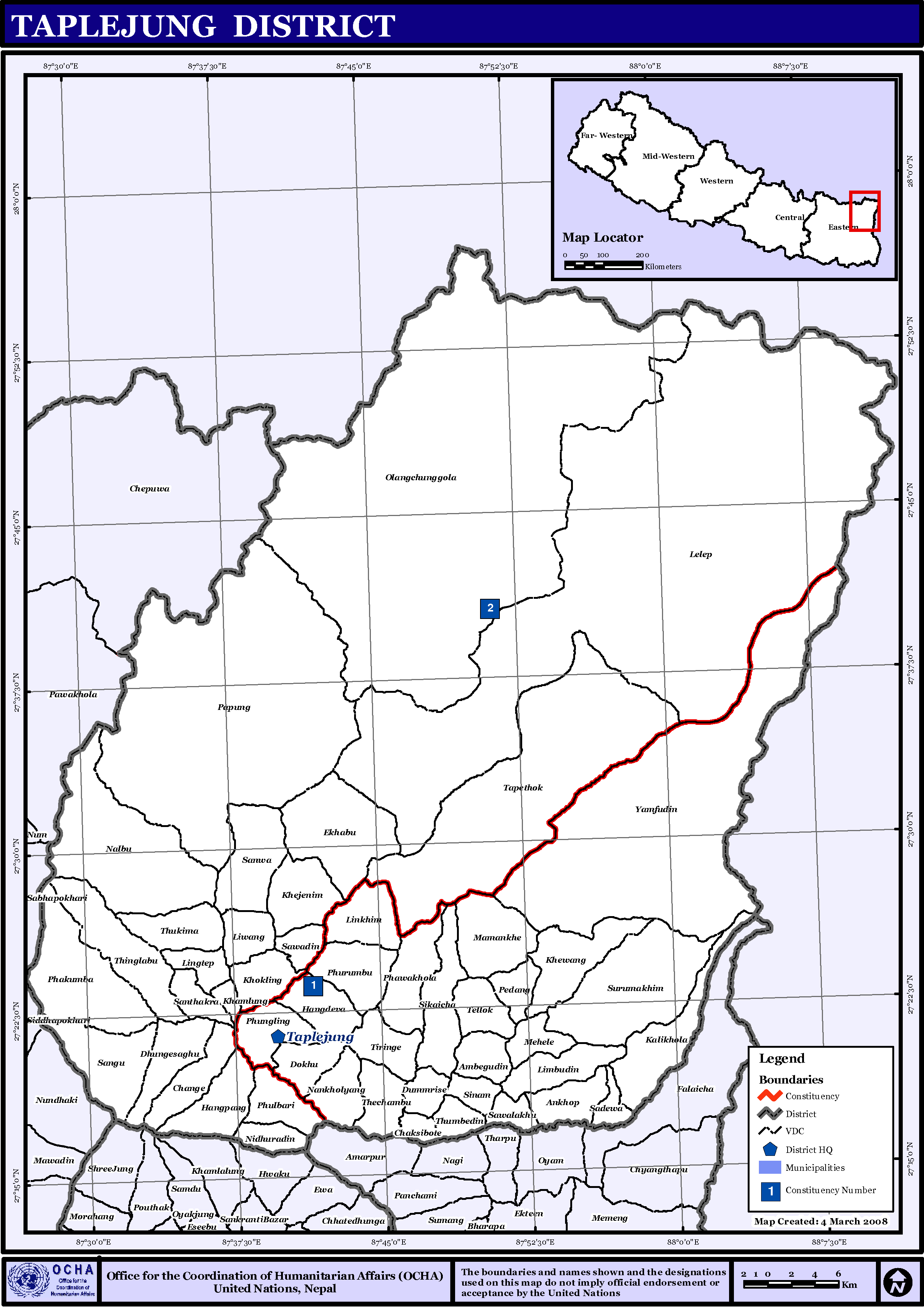
English: Map displaying Village Development Committees in Taplejung District, Nepal |
| Datum | |
| Källa | http://www.un.org.np/maps/district-maps/eastern/Taplejung.pdf |
| Skapare | United Nations |
Licensiering
| This image is a map derived from a United Nations map.
Unless stated otherwise, UN maps are to be considered in the public domain. This applies worldwide. UN maps are, in principle, open source material and you can use them in your work or for making your own map. UN requests however that you delete the UN name, logo and reference number upon any modification to the map. Content of your map will be your responsibility. You can state in your publication, if you wish, something like: based on UN map … (map name, map number, revision number and date). See: Geospatial Information Section. And: Geospatial, location data for a better world. |
 |
Filhistorik
Klicka på ett datum/klockslag för att se filen som den såg ut då.
| Datum/Tid | Miniatyrbild | Dimensioner | Användare | Kommentar | |
|---|---|---|---|---|---|
| nuvarande | 15 november 2008 kl. 20.55 | | 2 479 × 3 508 (232 kbyte) | Sadalmelik | {{Information |Description={{en|1=Map displaying Village Development Committees in Taplejung District, Nepal}} |Source=http://www.un.org.np/maps/district-maps/eastern/Taplejung.pdf |Date=March 4, 2008 |Author=United Nations |Permission= |other_versio |
Filanvändning
Följande 2 sidor använder den här filen:
Global filanvändning
Följande andra wikier använder denna fil:
- Användande på de.wikipedia.org
- Användande på en.wikipedia.org
- Användande på fi.wikipedia.org
- Användande på mai.wikipedia.org
- ताप्लेजुङ जिला
- आकृति:ताप्लेजुङ जिलाक नगरपालिका आ गाविससभ
- आँखोप
- आम्बेगुदिन
- एखाबु
- ओलङ्चुङ गोला
- कालीखोला
- खाम्लुङ्ग
- खेजेनिम
- खेवाङ्ग
- खोक्लीङ
- चाँगे
- चाक्सीबोटे
- डुम्रिसे
- ढुंगेसाँघु
- तापेथोक
- तिरिङ्गे
- तेल्लोक
- थिङ्गलाबू
- थुकिमा
- थुम्बेदिन
- थेचम्बू
- नाङखोल्याङ्ग
- नाल्बू
- निगुरादिन
- पापुङ्ग
- पेदाङ्ग
- फाकुम्बा
- फावाखोला
- फुरुम्बू
- फुलबारी, ताप्लेजुङ
- मामाङखे
- मेहेले
- याम्फुदिन
- लिङ्गतेप
- लिनखिम
- लिम्बुदिन
- लिवाङ
- लेलेप
- साँघू
- साँवा
- सादेवा
- सान्थाक्रा
- साब्लाखू
- सावादिन
- सिकैंचा
- सिनाम
Visa mer globalt användande av denna fil.