
Fil:TXMap-doton-Laredo.PNG
Det finns ingen version med högre upplösning.
TXMap-doton-Laredo.PNG (300 × 284 pixlar, filstorlek: 16 kbyte, MIME-typ: image/png)
| Denna fil tillhandahålls av Wikimedia Commons. Informationen nedan är kopierad från dess filbeskrivningssida. |
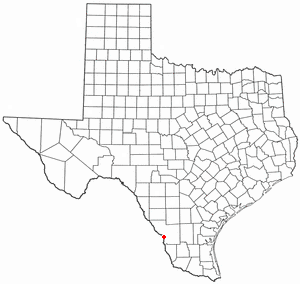
Locator maps U.S. cities derived from PD state maps by different users from en.wikipedia.
the filename has sometimes been adapted to the general syntax

|
Tillstånd ges att kopiera, distribuera och/eller modifiera detta dokument under villkoren i GNU Free Documentation License, Version 1.2 eller senare version publicerad av Free Software Foundation, utan oföränderliga avsnitt, framsidestexter eller baksidestexter. En kopia av licensen ingår i avsnittet GNU Free Documentation License. |
| Denna fil har gjorts tillgänglig under licensen Creative Commons Erkännande-Dela Lika 3.0 Generisk | ||
| ||
| Detta licenstillägg lades till till denna fil som en del av GFDL:s licensuppdatering. |
Filhistorik
Klicka på ett datum/klockslag för att se filen som den såg ut då.
| Datum/Tid | Miniatyrbild | Dimensioner | Användare | Kommentar | |
|---|---|---|---|---|---|
| nuvarande | 29 juli 2007 kl. 13.29 | | 300 × 284 (16 kbyte) | Ö | Reverted to earlier revision |
| 29 juli 2007 kl. 00.08 |  | 630 × 594 (92 kbyte) | AMAPO | {{Information |Description=Texas County Map showing Laredo, Texas Location |Source=Modified from http://es.wikipedia.org/wiki/Imagen:Texas_map_-_Dallas_County.svg |Date=July 2007 |Author=drumguy8800 / AMAPO |Permission=GNU Free |other_versions=http://es.w | |
| 10 februari 2006 kl. 23.54 |  | 300 × 284 (16 kbyte) | Michiel1972 | Locator maps U.S. cities derived from PD state maps by different users from en.wikipedia. <small>the filename has sometimes been adapted to the general syntax</small> {{GFDL}} category:Location maps of U.S. cities |
Filanvändning
Följande sida använder den här filen:
Global filanvändning
Följande andra wikier använder denna fil:
- Användande på da.wikipedia.org
- Användande på fa.wikipedia.org
- Användande på id.wikipedia.org
- Användande på no.wikipedia.org