
Fil:BlankMap-World-162E-flat.svg

Storleken för denna PNG-förhandsvisning av denna SVG-fil: 800 × 406 pixlar. Andra upplösningar: 320 × 162 pixlar | 640 × 325 pixlar | 1 024 × 520 pixlar | 1 280 × 650 pixlar | 2 560 × 1 299 pixlar | 940 × 477 pixlar.
Originalfil (SVG-fil, standardstorlek: 940 × 477 pixlar, filstorlek: 1,98 Mbyte)
| Denna fil tillhandahålls av Wikimedia Commons. Informationen nedan är kopierad från dess filbeskrivningssida. |
Sammanfattning
| Beskrivning |
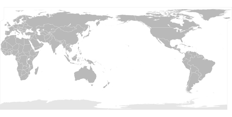
English: A blank flattened political map of the world centered at the 162E longitude line.
Detailed SVG map with grouping enabled to connect all non-contiguous parts of a country's territory for easy colouring. Smaller countries can also be represented by larger circles to show their data easier. A thorough description of use and other instructions relating to can be found on the instruction page |
||
| Datum | |||
| Källa | Based on Image:BlankMap-World6.svg and rotated and flattenedusing the pythonscript available at http://gsl-nagoya-u.net/appendix/software/worldmap/ | ||
| Skapare | Lokal_Profil | ||
| Tillstånd (Återanvändning av denna fil) |
The map data manipulated by the script is in the public domain. The raw output of the script, including the file shown here, is also in the public domain.
|
||
| Andra versioner | Version centred at 180E | ||
| SVG utveckling |
Filhistorik
Klicka på ett datum/klockslag för att se filen som den såg ut då.
| Datum/Tid | Miniatyrbild | Dimensioner | Användare | Kommentar | |
|---|---|---|---|---|---|
| nuvarande | 6 mars 2019 kl. 19.10 | | 940 × 477 (1,98 Mbyte) | Goran tek-en | Updating Montenegro and/or South Sudan as requested by {{u|Maphobbyist}}, valid code, Inkscape. |
| 17 april 2008 kl. 00.22 |  | 940 × 477 (3,46 Mbyte) | Lokal Profil | SLightly nicer solution | |
| 17 april 2008 kl. 00.18 |  | 940 × 477 (3,46 Mbyte) | Lokal Profil | Fix so that greenland and Iceland remain intact | |
| 16 april 2008 kl. 21.29 |  | 940 × 477 (3,47 Mbyte) | Lokal Profil | {{Information |Description=A blank flattened map of the world centered at the 162E longitude line. Detailed SVG map with grouping enabled to connect all non-contiguous parts of a country's territory for easy colouring. Smaller countries can also be rep |
Filanvändning
Inga sidor använder den här filen.
Global filanvändning
Följande andra wikier använder denna fil:
- Användande på en.wikipedia.org
- Användande på ko.wikipedia.org
- Användande på zh.wikipedia.org