
Fil:Map of Virginia counties and cities.svg

Storleken för denna PNG-förhandsvisning av denna SVG-fil: 800 × 347 pixlar. Andra upplösningar: 320 × 139 pixlar | 640 × 278 pixlar | 1 024 × 444 pixlar | 1 280 × 555 pixlar | 2 560 × 1 110 pixlar | 7 486 × 3 247 pixlar.
Originalfil (SVG-fil, standardstorlek: 7 486 × 3 247 pixlar, filstorlek: 224 kbyte)
| Denna fil tillhandahålls av Wikimedia Commons. Informationen nedan är kopierad från dess filbeskrivningssida. |
Sammanfattning
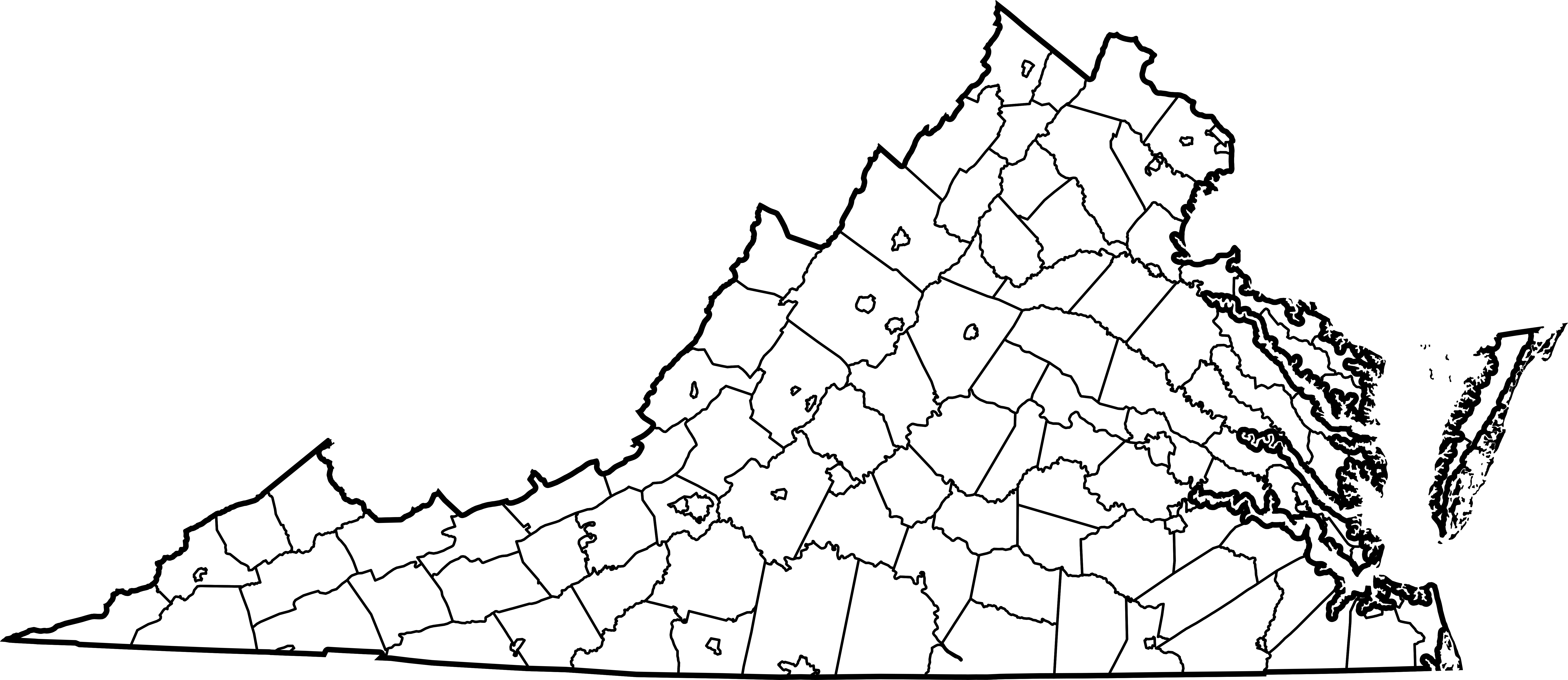
| Beskrivning | Map of all counties and independent cities in Virginia. Derived from Image:Map of Virginia highlighting Richmond County.svg, but with highlighting removed and all internal ids for counties changed to include "_County" to avoid conflicts with cities with the same name. |
| Datum | 21 april 2007 (ursprungligt uppladdningsdatum) |
| Källa | Ingen maskinläsbar källa angavs. Eget arbete antaget (baserat på upphovsrättsanspråk). |
| Skapare | Ingen maskinläsbar skapare angavs. Mike Dillon antaget (baserat på upphovsrättsanspråk). |
Licensiering
| Detta verk har gjorts tillgänglig som public domain av dess skapare, Dbenbenn. Detta gäller globalt. I vissa länder kan detta inte vara juridiskt möjligt; i så fall: |
| Jag, upphovsrättsinnehavaren till detta verk, släpper detta verk i public domain. Detta gäller globalt. I vissa länder kan detta inte vara juridiskt möjligt; i så fall: Jag ger härmed envar rätten att använda detta verk för alla ändamål, utan några villkor, förutom villkor som lagen ställer. |
derivative works
Filer som bygger på denna fil:
- Map of counties in Southside, Virginia region.svg
- Map of Virginia Counties by Law Enforcement Type.svg
Filhistorik
Klicka på ett datum/klockslag för att se filen som den såg ut då.
| Datum/Tid | Miniatyrbild | Dimensioner | Användare | Kommentar | |
|---|---|---|---|---|---|
| nuvarande | 21 april 2007 kl. 03.34 | | 7 486 × 3 247 (224 kbyte) | Mike Dillon | Map of all counties and en:independent cities in Virginia. Derived from Image:Map of Virginia highlighting Richmond County.svg, but with highlighting removed and all internal ids for counties changed to include "_County" to avoid conflicts |
Filanvändning
Inga sidor använder den här filen.
Global filanvändning
Följande andra wikier använder denna fil: