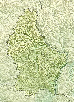
Mall:Kartposition Luxemburg
| namn | Luxemburg | |||
|---|---|---|---|---|
| gräns koordinater | ||||
| 50.25 | ||||
| 5.65 | ←↕→ | 6.6 | ||
| 49.4 | ||||
| kartans mittpunkt | 49°49′30″N 6°07′30″Ö / 49.825°N 6.125°Ö | |||
| bild | Luxembourg location map - cantons.svg | |||

| ||||
| bild1 | Luxembourg relief location map.jpg | |||

| ||||
How to use an alternative map[redigera wikitext]
This template normally displays the map shown above as image:
- .
The AlternativeMap parameter in Template:Location map can be used to display the following image:
Further instructions and examples can be found at Template:Location map#Using Alternative Map.
