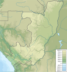
Île de Bétou
Utseende
| Île de Bétou | |
| Ö | |
| Länder | |
|---|---|
| Departement/Provins | Likouala, Sud-Ubangi |
| Koordinater | 2°54′45″N 18°28′21″Ö / 2.9125°N 18.4725°Ö |
| Tidszon | WAT (UTC+1) |
| Geonames | 2571772 |
Île de Bétou är en ö[1][bättre källa behövs] i floden Oubangui. Floden bildar gräns mellan Kongo-Brazzaville och Kongo-Kinshasa men det är inte definierat vilket land som öarna i floden hör till.[2]
Källor
[redigera | redigera wikitext]- ^ Île de Bétou hos GeoNames.Org (cc-by); post uppdaterad 1996-01-04; databasdump nerladdad 2016-01-03
- ^ The Geographer (1972). ”Republic of the Congo (Congo) – Democratic Republic of the Congo (Zaire) Boundary” (på engelska). International Boundary Study (Washington DC: Office of the Geographer, Bureau of Intelligence and Research) 127: sid. 7. http://library.law.fsu.edu/Digital-Collections/LimitsinSeas/pdf/ibs127.pdf. Läst 14 september 2021.

