Shiloango
Utseende
| Shiloango | |
| Rio Chiluango, Louango, Caongo, Rio Hi, Tchiloango, Loango, Shilongo, Kakongo River | |
| Vattendrag | |
| Länder | |
|---|---|
| Departement/Provins | Niari, Kongo-Central, Kabinda |
| Koordinater | 5°12′00″S 12°07′00″Ö / 5.2°S 12.11667°Ö |
| Tidszon | WAT (UTC+1) |
| Geonames | 2241880 |
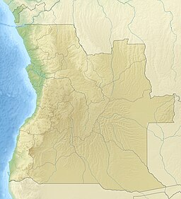
Shiloango är en flod i Centralafrika som mynnar i Atlanten.[1] Från källan vid Pic Kiama bildar den först gräns mellan Kongo-Brazzaville och Kongo-Kinshasa,[2] därefter mellan Kongo-Kinshasa och den angolanska exklaven Kabinda,[3] för att slutligen rinna genom Kabinda.[1] Det övre loppet kallas ibland Loango – Shiloango ("nedre Loango") syftar i snäv mening på floden nedanför sammanflödet med Lukula.[1]
Källor[redigera | redigera wikitext]
- ^ [a b c] Droogmans, Hubert (1901) (på franska). Notices sur le Bas-Congo. Bryssel: Imprimerie Vanbuggenhoudt. sid. 27. https://archive.org/details/noticessurlebasc00droo/
- ^ The Geographer (1972). ”Republic of the Congo (Congo) – Democratic Republic of the Congo (Zaire) Boundary” (på engelska). International Boundary Study (Washington DC: Office of the Geographer, Bureau of Intelligence and Research) 127: sid. 5. http://library.law.fsu.edu/Digital-Collections/LimitsinSeas/pdf/ibs127.pdf. Läst 2 september 2021.
- ^ The Geographer (1974). ”Angola – Democratic Rep. of the Congo (Zaire) Boundary” (på engelska). International Boundary Study (Washington DC: Office of the Geographer, Bureau of Intelligence and Research) 144: sid. 8. http://library.law.fsu.edu/Digital-Collections/LimitsinSeas/pdf/ibs144.pdf. Läst 2 september 2021.

